
Thank you for supporting this site ❤️
Make a donation
Make a donation
Buner topographic map
Click on the map to display elevation.
Thank you for supporting this site ❤️
Make a donation
Make a donation
About this map
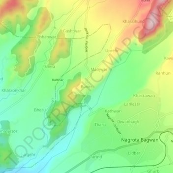
Name: Buner topographic map, elevation, terrain.
Location: Buner, Nagrota Bagwan, Kangra, Himachal Pradesh, 176047, India (32.10018 76.34393 32.14018 76.38393)
Average elevation: 870 m
Minimum elevation: 759 m
Maximum elevation: 1,041 m
Thank you for supporting this site ❤️
Make a donation
Make a donation