
Thank you for supporting this site ❤️
Make a donation
Make a donation
Flatwood topographic map
Click on the map to display elevation.
Thank you for supporting this site ❤️
Make a donation
Make a donation
About this map
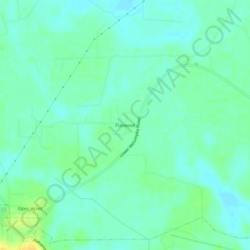
Name: Flatwood topographic map, elevation, terrain.
Location: Flatwood, Montgomery County, Alabama, 36110, United States (32.43041 -86.28108 32.47041 -86.24108)
Average elevation: 49 m
Minimum elevation: 41 m
Maximum elevation: 65 m
Thank you for supporting this site ❤️
Make a donation
Make a donation
Other topographic maps
Click on a map to view its topography, its elevation and its terrain.