
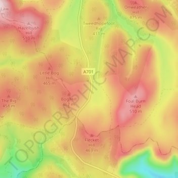
Tweedshaws topographic map
Interactive map
Click on the map to display elevation.
About this map
Name: Tweedshaws topographic map, elevation, terrain.
Average elevation: 406 m
Minimum elevation: 218 m
Maximum elevation: 538 m
Other topographic maps
Click on a map to view its topography, its elevation and its terrain.
Madrisa
Verenigd Koninkrijk > Schotland > Scottish Borders > Madrisa
Madrisa, Scottish Borders, Schotland, EH46 7BD, Verenigd Koninkrijk
Average elevation: 295 m