
Engey topographic map
Interactive map
Click on the map to display elevation.
About this map
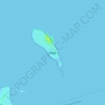
Name: Engey topographic map, elevation, terrain.
Location: Engey, Reykjavik, Capital Region, Iceland (64.16377 -21.92532 64.17584 -21.90681)
Average elevation: 0 m
Minimum elevation: 0 m
Maximum elevation: 12 m
Other topographic maps
Click on a map to view its topography, its elevation and its terrain.
Vesturhöfn
Vesturhöfn, Vesturbær, Reykjavik, Capital Region, Iceland
Average elevation: 4 m