
Thank you for supporting this site ❤️
Make a donation
Make a donation
Whitehall topographic map
Click on the map to display elevation.
Thank you for supporting this site ❤️
Make a donation
Make a donation
About this map
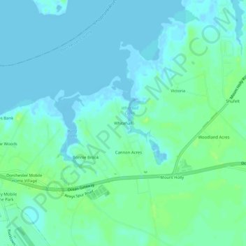
Name: Whitehall topographic map, elevation, terrain.
Location: Whitehall, Dorchester County, Maryland, United States (38.54123 -76.03327 38.58123 -75.99327)
Average elevation: 4 m
Minimum elevation: -4 m
Maximum elevation: 12 m
Thank you for supporting this site ❤️
Make a donation
Make a donation
Other topographic maps
Click on a map to view its topography, its elevation and its terrain.