
Thank you for supporting this site ❤️
Make a donation
Make a donation
Pongo topographic map
Click on the map to display elevation.
Thank you for supporting this site ❤️
Make a donation
Make a donation
About this map
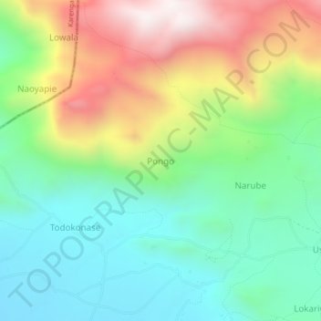
Name: Pongo topographic map, elevation, terrain.
Location: Pongo, Kaabong, Northern Region, Uganda (3.67044 33.99411 3.71044 34.03411)
Average elevation: 1,813 m
Minimum elevation: 1,451 m
Maximum elevation: 2,455 m
Thank you for supporting this site ❤️
Make a donation
Make a donation