
Lim Kundak topographic map
Interactive map
Click on the map to display elevation.
About this map
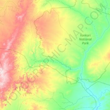
Name: Lim Kundak topographic map, elevation, terrain.
Location: Lim Kundak, Alkaleri, Bauchi State, Nigeria (9.51056 9.88557 9.94685 10.57679)
Average elevation: 412 m
Minimum elevation: 180 m
Maximum elevation: 877 m