
Thank you for supporting this site ❤️
Make a donation
Make a donation
Guernsey topographic map
Click on the map to display elevation.
Thank you for supporting this site ❤️
Make a donation
Make a donation
About this map
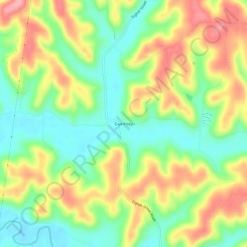
Name: Guernsey topographic map, elevation, terrain.
Location: Guernsey, Guernsey County, Ohio, 43749, United States (40.16174 -81.61234 40.20174 -81.57234)
Average elevation: 279 m
Minimum elevation: 228 m
Maximum elevation: 342 m
Thank you for supporting this site ❤️
Make a donation
Make a donation
Other topographic maps
Click on a map to view its topography, its elevation and its terrain.