
Igabi topographic map
Interactive map
Click on the map to display elevation.
About this map
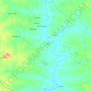
Name: Igabi topographic map, elevation, terrain.
Location: Igabi, Kaduna State, Nigeria (10.73505 7.70155 10.92465 7.88619)
Average elevation: 634 m
Minimum elevation: 595 m
Maximum elevation: 790 m