
Niagara Falls topographic map
Interactive map
Click on the map to display elevation.
About this map
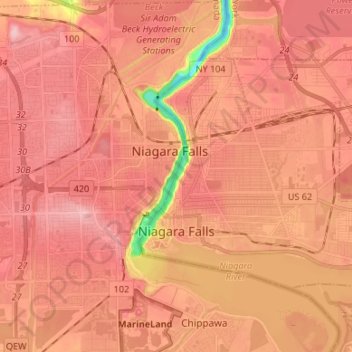
Name: Niagara Falls topographic map, elevation, terrain.
Location: Niagara Falls, Niagara County, New York, USA (43.06427 -79.07565 43.13206 -78.94237)
Average elevation: 180 m
Minimum elevation: 75 m
Maximum elevation: 220 m