
Kabba topographic map
Interactive map
Click on the map to display elevation.
About this map
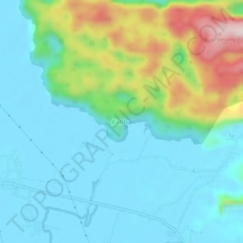
Name: Kabba topographic map, elevation, terrain.
Location: Kabba, Galesong Selatan, South Sulawesi, 90554, Indonesia (-4.88250 119.58927 -4.84250 119.62927)
Average elevation: 101 m
Minimum elevation: -1 m
Maximum elevation: 425 m