
青山村散石灣南 topographic map
Interactive map
Click on the map to display elevation.
About this map
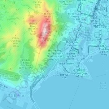
Name: 青山村散石灣南 topographic map, elevation, terrain.
Location: 青山村散石灣南, 青山村, 屯門區, 新界, 香港, 中国 (22.36030 113.93699 22.40030 113.97699)
Average elevation: 93 m
Minimum elevation: -33 m
Maximum elevation: 551 m
Other topographic maps
Click on a map to view its topography, its elevation and its terrain.