
色乡 topographic map
Interactive map
Click on the map to display elevation.
About this map
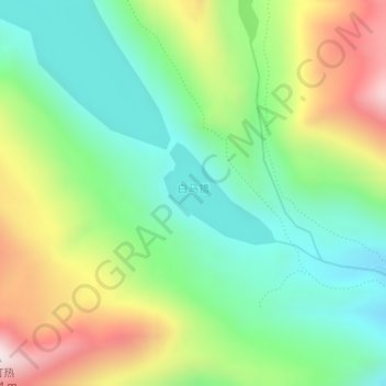
Name: 色乡 topographic map, elevation, terrain.
Location: 色乡, 洛扎县, 山南市, 西藏自治区, 中国, 白马错 (28.25823 90.74400 28.26540 90.75293)
Average elevation: 4,715 m
Minimum elevation: 4,453 m
Maximum elevation: 5,174 m
Other topographic maps
Click on a map to view its topography, its elevation and its terrain.