Geolocate
👉 Easily get elevation data in JSON, GeoTIFF and KML formats using Elevation API
Thank you for supporting this site ❤️
Make a donation

Akinyele topographic map

Click on the map to display elevation.

👉 Easily get elevation data in JSON, GeoTIFF and KML formats using Elevation API
Thank you for supporting this site ❤️
Make a donation

About this map

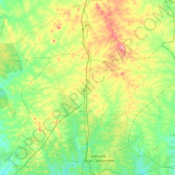
Name: Akinyele topographic map, elevation, terrain.

Location: Akinyele, Oyo State, Nigeria (7.43783 3.75625 7.75783 4.07625)

Average elevation: 251 m

Minimum elevation: 169 m

Maximum elevation: 418 m