
Ekiti West topographic map
Interactive map
Click on the map to display elevation.
About this map
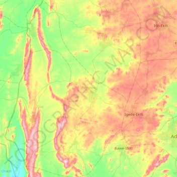
Name: Ekiti West topographic map, elevation, terrain.
Location: Ekiti West, Ekiti State, Nigeria (7.54064 4.90639 7.89761 5.11375)
Average elevation: 478 m
Minimum elevation: 273 m
Maximum elevation: 743 m
Other topographic maps
Click on a map to view its topography, its elevation and its terrain.