
Thank you for supporting this site ❤️
Make a donation
Make a donation
Urualla topographic map
Click on the map to display elevation.
Thank you for supporting this site ❤️
Make a donation
Make a donation
About this map
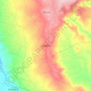
Name: Urualla topographic map, elevation, terrain.
Location: Urualla, Ideato North, Imo State, Nigeria (5.81399 7.05908 5.89399 7.13908)
Average elevation: 186 m
Minimum elevation: 49 m
Maximum elevation: 306 m
Thank you for supporting this site ❤️
Make a donation
Make a donation