
Thank you for supporting this site ❤️
Make a donation
Make a donation
Orleka topographic map
Click on the map to display elevation.
Thank you for supporting this site ❤️
Make a donation
Make a donation
About this map
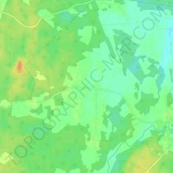
Name: Orleka topographic map, elevation, terrain.
Location: Orleka, Gemeinde Tidaholm, Provinz Västra Götaland, Schweden (58.23914 13.95910 58.27914 13.99910)
Average elevation: 136 m
Minimum elevation: 123 m
Maximum elevation: 155 m
Thank you for supporting this site ❤️
Make a donation
Make a donation
Other topographic maps
Click on a map to view its topography, its elevation and its terrain.
Thank you for supporting this site ❤️
Make a donation
Make a donation
Thank you for supporting this site ❤️
Make a donation
Make a donation
Thank you for supporting this site ❤️
Make a donation
Make a donation
Thank you for supporting this site ❤️
Make a donation
Make a donation