
Thank you for supporting this site ❤️
Make a donation
Make a donation
Langenberg topographic map
Click on the map to display elevation.
Thank you for supporting this site ❤️
Make a donation
Make a donation
About this map
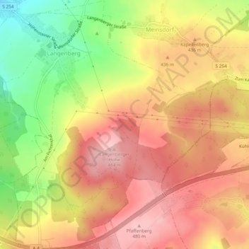
Name: Langenberg topographic map, elevation, terrain.
Location: Langenberg, Callenberg, Zwickau, Sachsen, Deutschland (50.80918 12.69397 50.83897 12.73700)
Average elevation: 418 m
Minimum elevation: 321 m
Maximum elevation: 482 m
Thank you for supporting this site ❤️
Make a donation
Make a donation