
Thank you for supporting this site ❤️
Make a donation
Make a donation
Umukwata topographic map
Click on the map to display elevation.
Thank you for supporting this site ❤️
Make a donation
Make a donation
About this map
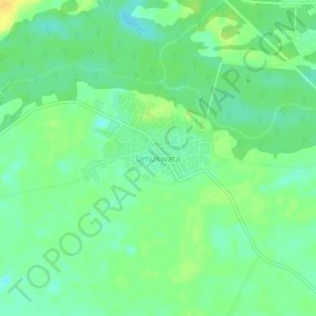
Name: Umukwata topographic map, elevation, terrain.
Location: Umukwata, Ukwuani, Delta State, Nigeria (5.78311 6.23024 5.82311 6.27024)
Average elevation: 21 m
Minimum elevation: 10 m
Maximum elevation: 36 m
Thank you for supporting this site ❤️
Make a donation
Make a donation