
Saint-Joseph topographic map
Interactive map
Click on the map to display elevation.
About this map
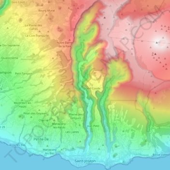
Name: Saint-Joseph topographic map, elevation, terrain.
Location: Saint-Joseph, Saint-Pierre, Réunion, 97480, France (-21.38973 55.58213 -21.19437 55.70566)
Average elevation: 1,061 m
Minimum elevation: 0 m
Maximum elevation: 2,619 m