
Thank you for supporting this site ❤️
Make a donation
Make a donation
Shulinab topographic map
Click on the map to display elevation.
Thank you for supporting this site ❤️
Make a donation
Make a donation
About this map
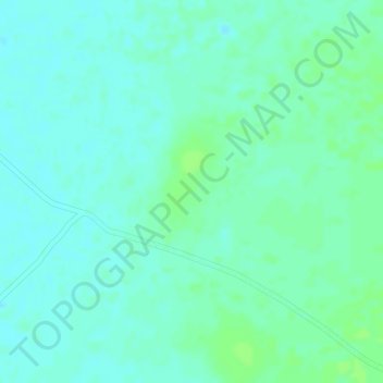
Name: Shulinab topographic map, elevation, terrain.
Average elevation: 109 m
Minimum elevation: 104 m
Maximum elevation: 114 m
Thank you for supporting this site ❤️
Make a donation
Make a donation
Other topographic maps
Click on a map to view its topography, its elevation and its terrain.
Lethem Over the Creek
Guyana > Upper Takutu-Upper Essequibo > Ireng - Sawariwau
Average elevation: 90 m