
Thank you for supporting this site ❤️
Make a donation
Make a donation
Sandusky topographic map
Click on the map to display elevation.
Thank you for supporting this site ❤️
Make a donation
Make a donation
About this map
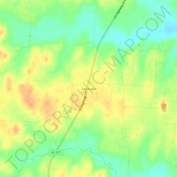
Name: Sandusky topographic map, elevation, terrain.
Location: Sandusky, Grayson County, Texas, United States (33.74622 -96.91223 33.78622 -96.87223)
Average elevation: 220 m
Minimum elevation: 200 m
Maximum elevation: 237 m
Thank you for supporting this site ❤️
Make a donation
Make a donation
Other topographic maps
Click on a map to view its topography, its elevation and its terrain.
Howe
United States > Texas > Grayson County
Howe's elevation of 860 feet (260 m) is the highest point along US 75 between the Red River and the Gulf of Mexico.
Average elevation: 248 m
Thank you for supporting this site ❤️
Make a donation
Make a donation