
Centurión topographic map
Interactive map
Click on the map to display elevation.
About this map
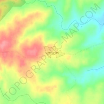
Name: Centurión topographic map, elevation, terrain.
Location: Centurión, Cerro Largo, 37000, Uruguay (-32.14641 -53.79169 -32.14332 -53.78533)
Average elevation: 149 m
Minimum elevation: 106 m
Maximum elevation: 194 m