
Thank you for supporting this site ❤️
Make a donation
Make a donation
Betsy Layne topographic map
Click on the map to display elevation.
Thank you for supporting this site ❤️
Make a donation
Make a donation
About this map
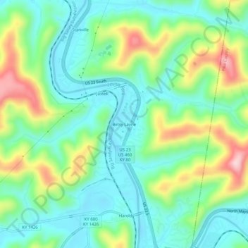
Name: Betsy Layne topographic map, elevation, terrain.
Location: Betsy Layne, Floyd County, Kentucky, 41605, United States (37.53149 -82.65349 37.57149 -82.61349)
Average elevation: 270 m
Minimum elevation: 189 m
Maximum elevation: 449 m
Thank you for supporting this site ❤️
Make a donation
Make a donation
Other topographic maps
Click on a map to view its topography, its elevation and its terrain.