
Wânswert topographic map
Interactive map
Click on the map to display elevation.
About this map
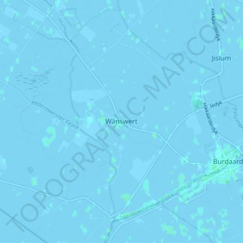
Name: Wânswert topographic map, elevation, terrain.
Location: Wânswert, Friesland, Niederlande, 9178, Niederlande (53.28174 5.83035 53.32174 5.87035)
Average elevation: -1 m
Minimum elevation: -3 m
Maximum elevation: 3 m