
Thank you for supporting this site ❤️
Make a donation
Make a donation
Bobs Fork topographic map
Click on the map to display elevation.
Thank you for supporting this site ❤️
Make a donation
Make a donation
About this map
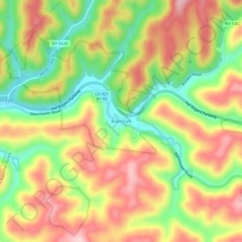
Name: Bobs Fork topographic map, elevation, terrain.
Location: Bobs Fork, Leslie County, Kentucky, 41714, United States (37.14389 -83.53861 37.18389 -83.49861)
Average elevation: 375 m
Minimum elevation: 261 m
Maximum elevation: 482 m
Thank you for supporting this site ❤️
Make a donation
Make a donation