
Magadan Oblast topographic map
Interactive map
Click on the map to display elevation.
About this map
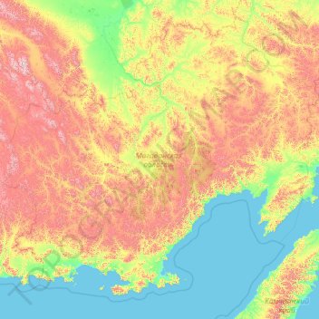
Name: Magadan Oblast topographic map, elevation, terrain.
Location: Magadan Oblast, Far Eastern Federal District, Russia (58.63753 144.72862 66.33914 163.49569)
Average elevation: 491 m
Minimum elevation: -1 m
Maximum elevation: 2,755 m