
Mayani topographic map
Click on the map to display elevation.
About this map
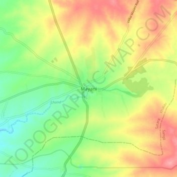
Name: Mayani topographic map, elevation, terrain.
Location: Mayani, Khatav, Satara, Maharashtra, 415102, India (17.40288 74.50894 17.48288 74.58894)
Average elevation: 705 m
Minimum elevation: 660 m
Maximum elevation: 756 m