
Make a donation
Black Butte topographic map
Click on the map to display elevation.
Make a donation
Black Butte
According to the U.S. National Geodetic Survey and scientists from the United States Geological Survey, Black Butte has an elevation of 6,436 feet (1,962 m); the Geographic Names Information System database lists its elevation as 6,430 feet (1,960 m), while Oregon Geographic Names lists its elevation at 6,415 feet (1,955 m). The butte has proximal and draping reliefs of 2,490 feet (760 m) and 3,150 feet (960 m), which are the "difference between summit elevation and that of highest exposure of older rocks overlain by the edifice" and the "difference between summit elevation and that of lowest distal lavas of the edifice (not including distal pyroclastic or debris flows)," respectively. According to E. M. Taylor, Black Butte has a diameter of 4 miles (6.4 km).
Make a donation
About this map
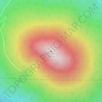
Name: Black Butte topographic map, elevation, terrain.
Location: Black Butte, Jefferson County, Oregon, United States (44.40003 -121.63651 44.40013 -121.63641)
Average elevation: 1,514 m
Minimum elevation: 1,102 m
Maximum elevation: 1,952 m
Make a donation
Other topographic maps
Click on a map to view its topography, its elevation and its terrain.