
Make a donation
Fort Meade topographic map
Click on the map to display elevation.
Make a donation
Fort Meade
Fort Meade is the oldest city in Polk County, dating its origins to 1849 when it was established along a new military road from Tampa (Fort Brooke) to Fort Pierce following the Second Seminole War. The town and road were originally sited by then-lieutenant George Meade of the Corps of Topographical Engineers, whose commander named it for him. Around the start of the American Civil War a mounted volunteer company nicknamed the "Hickory Boys" was formed at the fort. The 1880s business district was located on old Wire Street (now Broadway), which was a casualty of four devastating fires. Today, there are over 150 buildings which are designated as landmarks. In the 1890s the Fort Meade Street Railway operated a horse-drawn service in the town.
Make a donation
About this map
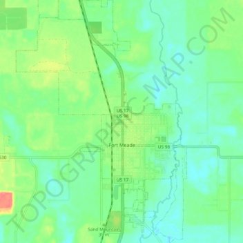
Name: Fort Meade topographic map, elevation, terrain.
Location: Fort Meade, Polk County, Florida, 33861, United States (27.71892 -81.84238 27.80140 -81.77697)
Average elevation: 39 m
Minimum elevation: 19 m
Maximum elevation: 86 m
Make a donation
Other topographic maps
Click on a map to view its topography, its elevation and its terrain.
Allen David Broussard Catfish Creek Preserve State Park
United States > Florida > Polk County
Average elevation: 18 m
Make a donation
Make a donation
Make a donation
Make a donation
Make a donation
Make a donation
Make a donation
Make a donation