
Pulau Batanme topographic map
Interactive map
Click on the map to display elevation.
About this map
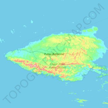
Name: Pulau Batanme topographic map, elevation, terrain.
Location: Pulau Batanme, West Papua, Indonesia (-2.06430 129.71922 -1.66994 130.47073)
Average elevation: 32 m
Minimum elevation: -1 m
Maximum elevation: 482 m