
Thank you for supporting this site ❤️
Make a donation
Make a donation
Gregory topographic map
Click on the map to display elevation.
Thank you for supporting this site ❤️
Make a donation
Make a donation
About this map
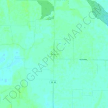
Name: Gregory topographic map, elevation, terrain.
Location: Gregory, Woodruff County, Arkansas, 72059, United States (35.13537 -91.36318 35.17537 -91.32318)
Average elevation: 61 m
Minimum elevation: 57 m
Maximum elevation: 65 m
Thank you for supporting this site ❤️
Make a donation
Make a donation