
Cerro Telapón topographic map
Interactive map
Click on the map to display elevation.
About this map
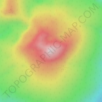
Name: Cerro Telapón topographic map, elevation, terrain.
Location: Cerro Telapón, Ixtapaluca, México (19.37088 -98.71983 19.37098 -98.71973)
Average elevation: 3,789 m
Minimum elevation: 3,479 m
Maximum elevation: 4,063 m
Other topographic maps
Click on a map to view its topography, its elevation and its terrain.
San Jerónimo Cuatro Vientos
San Jerónimo Cuatro Vientos, Ixtapaluca, 56644, México
Average elevation: 2,311 m
San Buenaventura
San Buenaventura, Ixtapaluca, 56536, México
Average elevation: 2,285 m