
Thank you for supporting this site ❤️
Make a donation
Make a donation
Angarap topographic map
Click on the map to display elevation.
Thank you for supporting this site ❤️
Make a donation
Make a donation
About this map
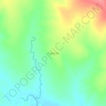
Name: Angarap topographic map, elevation, terrain.
Location: Angarap, Amudat, Northern Region, Uganda (1.98145 34.87713 2.02145 34.91713)
Average elevation: 1,273 m
Minimum elevation: 1,242 m
Maximum elevation: 1,326 m
Thank you for supporting this site ❤️
Make a donation
Make a donation