
Thank you for supporting this site ❤️
Make a donation
Make a donation
Dawson Knob topographic map
Click on the map to display elevation.
Thank you for supporting this site ❤️
Make a donation
Make a donation
About this map
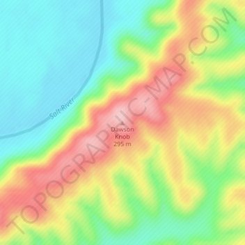
Name: Dawson Knob topographic map, elevation, terrain.
Location: Dawson Knob, Bullitt County, Kentucky, United States (37.92113 -85.78668 37.92123 -85.78658)
Average elevation: 203 m
Minimum elevation: 128 m
Maximum elevation: 300 m
Thank you for supporting this site ❤️
Make a donation
Make a donation
Other topographic maps
Click on a map to view its topography, its elevation and its terrain.