
Thank you for supporting this site ❤️
Make a donation
Make a donation
Pfützthal topographic map
Click on the map to display elevation.
Thank you for supporting this site ❤️
Make a donation
Make a donation
About this map
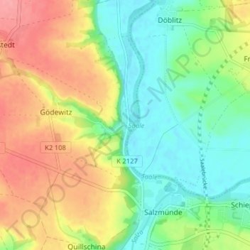
Name: Pfützthal topographic map, elevation, terrain.
Average elevation: 107 m
Minimum elevation: 70 m
Maximum elevation: 155 m
Thank you for supporting this site ❤️
Make a donation
Make a donation
Other topographic maps
Click on a map to view its topography, its elevation and its terrain.
Salzmünde
Deutschland > Sachsen-Anhalt > Saalekreis > Salzatal > Gödewitz
Die Hochfläche südöstlich des Ortes, etwa 30 Meter über der Saale, war seit langer Zeit ein von Menschen bevorzugter Ort. Seit der jungsteinzeitlichen Stichbandkeramischen Kultur (4900–4650 v. Chr.) sind zunächst palisadenumgebene Dorfsiedlungen auf der Anhöhe belegt. Die Baalberger Kultur (3950–3400…
Average elevation: 118 m