
Thank you for supporting this site ❤️
Make a donation
Make a donation
Oil Center topographic map
Click on the map to display elevation.
Thank you for supporting this site ❤️
Make a donation
Make a donation
About this map
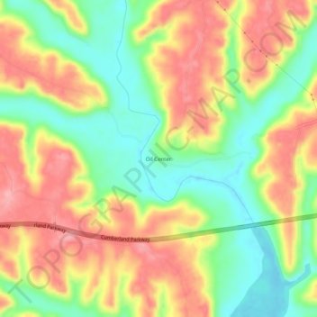
Name: Oil Center topographic map, elevation, terrain.
Location: Oil Center, Pulaski County, Kentucky, United States (37.08591 -84.72689 37.12591 -84.68689)
Average elevation: 268 m
Minimum elevation: 210 m
Maximum elevation: 325 m
Thank you for supporting this site ❤️
Make a donation
Make a donation
Other topographic maps
Click on a map to view its topography, its elevation and its terrain.