
Thank you for supporting this site ❤️
Make a donation
Make a donation
Ban Pa Ngio topographic map
Click on the map to display elevation.
Thank you for supporting this site ❤️
Make a donation
Make a donation
About this map
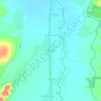
Name: Ban Pa Ngio topographic map, elevation, terrain.
Location: Ban Pa Ngio, Pa Ngio, Chiang Rai Province, Thailand (19.27916 99.49210 19.31916 99.53210)
Average elevation: 558 m
Minimum elevation: 544 m
Maximum elevation: 626 m
Thank you for supporting this site ❤️
Make a donation
Make a donation
Other topographic maps
Click on a map to view its topography, its elevation and its terrain.