
Unguwar Rimi topographic map
Click on the map to display elevation.
About this map
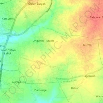
Name: Unguwar Rimi topographic map, elevation, terrain.
Location: Unguwar Rimi, Kumbotso, Kano, Nigeria (11.88481 8.54145 11.92111 8.61374)
Average elevation: 467 m
Minimum elevation: 443 m
Maximum elevation: 489 m