
Thank you for supporting this site ❤️
Make a donation
Make a donation
Dansa topographic map
Click on the map to display elevation.
Thank you for supporting this site ❤️
Make a donation
Make a donation
About this map
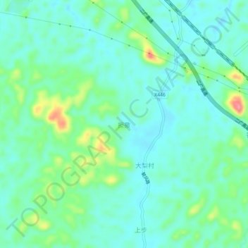
Name: Dansa topographic map, elevation, terrain.
Location: Dansa, Zhaoqing City, Guangdong Province, China (23.85097 112.13041 23.89097 112.17041)
Average elevation: 81 m
Minimum elevation: 57 m
Maximum elevation: 156 m
Thank you for supporting this site ❤️
Make a donation
Make a donation