
Dharapani topographic map
Interactive map
Click on the map to display elevation.
About this map
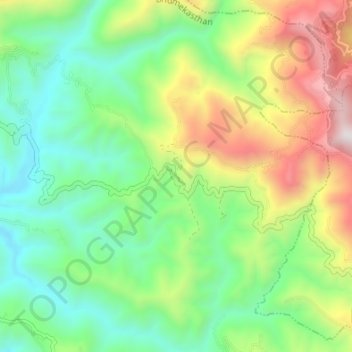
Name: Dharapani topographic map, elevation, terrain.
Location: Dharapani, Bhumekasthan, Arghakhanchi, Lumbini Province, Nepal (27.99124 83.00512 28.04728 83.07271)
Average elevation: 1,195 m
Minimum elevation: 762 m
Maximum elevation: 2,013 m