
Thank you for supporting this site ❤️
Make a donation
Make a donation
Barinas topographic map
Click on the map to display elevation.
Thank you for supporting this site ❤️
Make a donation
Make a donation
About this map
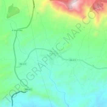
Name: Barinas topographic map, elevation, terrain.
Location: Barinas, Abanilla, Oriental, Región de Murcia, 30648, España (38.25269 -1.07721 38.29269 -1.03721)
Average elevation: 431 m
Minimum elevation: 270 m
Maximum elevation: 842 m
Thank you for supporting this site ❤️
Make a donation
Make a donation