
Nenjiang County topographic map
Interactive map
Click on the map to display elevation.
About this map
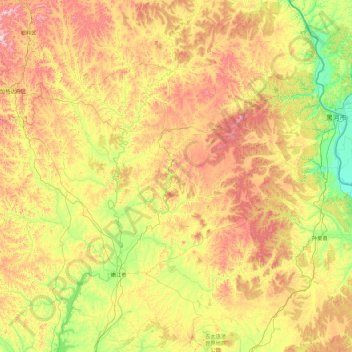
Name: Nenjiang County topographic map, elevation, terrain.
Location: Nenjiang County, Heihe City, Heilongjiang, PRC (48.70370 124.72587 51.00014 126.82521)
Average elevation: 381 m
Minimum elevation: 112 m
Maximum elevation: 1,021 m
Other topographic maps
Click on a map to view its topography, its elevation and its terrain.