
Freudenegg topographic map
Interactive map
Click on the map to display elevation.
About this map
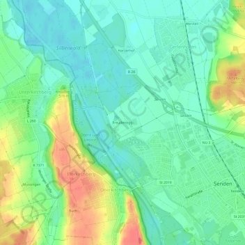
Name: Freudenegg topographic map, elevation, terrain.
Location: Freudenegg, Senden, Landkreis Neu-Ulm, Bavaria, 89171, Germany (48.31435 10.00207 48.35435 10.04207)
Average elevation: 492 m
Minimum elevation: 472 m
Maximum elevation: 531 m