Geolocate
👉 Easily get elevation data in JSON, GeoTIFF and KML formats using Elevation API
Thank you for supporting this site ❤️
Make a donation

Aviara topographic map

Click on the map to display elevation.

👉 Easily get elevation data in JSON, GeoTIFF and KML formats using Elevation API
Thank you for supporting this site ❤️
Make a donation

About this map

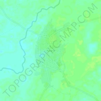
Name: Aviara topographic map, elevation, terrain.

Location: Aviara, Isoko South, Delta State, Nigeria (5.38206 6.24073 5.42206 6.28073)

Average elevation: 11 m

Minimum elevation: 5 m

Maximum elevation: 16 m