
Thank you for supporting this site ❤️
Make a donation
Make a donation
Fünfbronn topographic map
Click on the map to display elevation.
Thank you for supporting this site ❤️
Make a donation
Make a donation
About this map
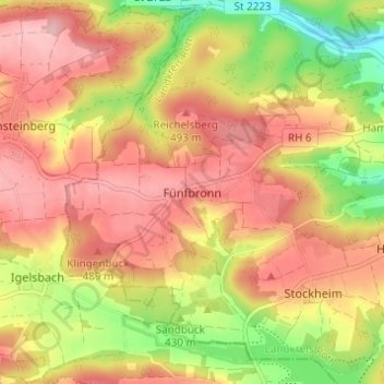
Name: Fünfbronn topographic map, elevation, terrain.
Location: Fünfbronn, Spalt, Landkreis Roth, Bayern, 91720, Deutschland (49.14911 10.85542 49.18911 10.89542)
Average elevation: 456 m
Minimum elevation: 363 m
Maximum elevation: 521 m
Thank you for supporting this site ❤️
Make a donation
Make a donation