
Thank you for supporting this site ❤️
Make a donation
Make a donation
Todendorf topographic map
Click on the map to display elevation.
Thank you for supporting this site ❤️
Make a donation
Make a donation
Todendorf
Todendorf ist ein Ortsteil der im nordöstlichen Teil des Kreises Plön gelegenen Gemeinde Panker. Die Ortschaft befindet sich etwa neun Kilometer nordnordwestlich von Lütjenburg (in dem die Amtsverwaltung der Gemeinde Panker ihren Sitz hat) und liegt auf einer Höhe von 14 m ü. NHN.
Thank you for supporting this site ❤️
Make a donation
Make a donation
About this map
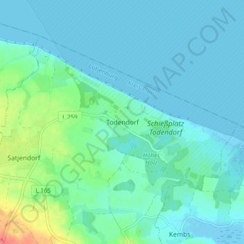
Name: Todendorf topographic map, elevation, terrain.
Average elevation: 10 m
Minimum elevation: -4 m
Maximum elevation: 57 m
Thank you for supporting this site ❤️
Make a donation
Make a donation