
Thank you for supporting this site ❤️
Make a donation
Make a donation
Champadevi topographic map
Click on the map to display elevation.
Thank you for supporting this site ❤️
Make a donation
Make a donation
About this map
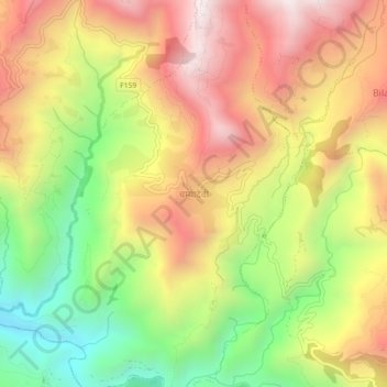
Name: Champadevi topographic map, elevation, terrain.
Location: Champadevi, Okhaldhunga, Koshi Province, Nepal (27.31316 86.27089 27.35316 86.31089)
Average elevation: 1,249 m
Minimum elevation: 666 m
Maximum elevation: 1,793 m
Thank you for supporting this site ❤️
Make a donation
Make a donation
Other topographic maps
Click on a map to view its topography, its elevation and its terrain.