
Thank you for supporting this site ❤️
Make a donation
Make a donation
Maharajganj topographic map
Click on the map to display elevation.
Thank you for supporting this site ❤️
Make a donation
Make a donation
About this map
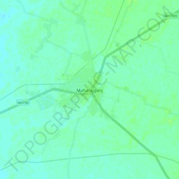
Name: Maharajganj topographic map, elevation, terrain.
Location: Maharajganj, Mahrajganj District, Uttar Pradesh, 273303, India (27.10580 83.52219 27.18580 83.60219)
Average elevation: 92 m
Minimum elevation: 88 m
Maximum elevation: 96 m
Thank you for supporting this site ❤️
Make a donation
Make a donation