
Hannafore topographic map
Click on the map to display elevation.
About this map
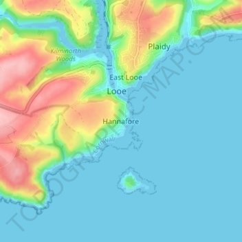
Name: Hannafore topographic map, elevation, terrain.
Location: Hannafore, Looe, Cornwall, England, PL13 2DW, United Kingdom (50.32726 -4.47312 50.36726 -4.43312)
Average elevation: 33 m
Minimum elevation: -1 m
Maximum elevation: 137 m